How to find land near public water lines with AI
Fifty tracts of 30 acres or more, each within half a mile of a water main.

Brennen Fountain
To find land near public water lines, you need the utility's water main map alongside parcel boundaries, then measure the distance from each parcel to the nearest line and screen out land in the floodplain. Water and sewer maps are published by each city or utility in its own format, if at all, so they rarely sit next to parcel data. An AI assistant such as Claude or ChatGPT can run that screen in minutes once the utility lines and parcels are in one place, but it cannot collect a utility's network maps on its own.
A homebuilder looking for its next subdivision on the northwest edge of the Austin metro, in Williamson County, Texas, wrote down exactly what a workable site looked like:
I want to find developable acreage. Ideally greater than 30 acres, either zoned for residential or outside city limits, within ½ mile from a public waterline and minimal impact by floodplain.
The problem: water access decides whether raw land can be built on
Utility access is often the first question on raw land, and one of the hardest to see from the outside. A 40-acre tract a mile from the nearest main can need a costly line extension before a single lot is sold, while the tract next to it may be ready to tap. Price per acre does not show the difference.
The answer is spread across several places. Parcel boundaries and land use are in the county appraisal district's records. Water mains are on the city's GIS site, and in this market a second, much larger utility serves the area next door with its own maps. Flood zones come from FEMA. City limits come from yet another source.
Done by hand, that means checking hundreds of large parcels against a utility map one at a time. For this search there were 609 tracts of 30 acres or more in the right land uses, so even ten minutes apiece is more than 100 hours before a shortlist exists.
The result: 50 tracts that fit every test
The builder ended up with 50 tracts, about 6,190 acres in all, each 30 acres or larger, within half a mile of a public water line, and with little or no floodplain. 44 of them have no mapped flood zone at all.
Every one of the 50 sits outside city limits, in the growing fringe the water network has already reached, which told the builder where to focus as well as which parcels to call about. The shortlist came back as a map and a table, so the team could go straight to owner outreach and utility capacity calls instead of more desk research.
Why an AI assistant can't map water lines on its own
AI assistants like Claude and ChatGPT are increasingly used as agents: you describe a task in plain English and they research, analyze, and report back. Hand one a table of parcels with their distance to the nearest water main and it will filter and rank them well.
It cannot build that table. Ask an assistant for land near water lines and it will search the web, maybe find the city's utility map viewer, and describe it. It cannot download hundreds of thousands of pipe segments from two utilities, measure every large parcel against them, overlay the floodplain, and keep the result for the next question. Asked anyway, it often names a few parcels with confidence and no way to check them.
How it was done: Ploti
The builder asked Ploti, the real estate data layer for AI. Ploti's data agents fetch and compile public records from local governments, from county GIS servers to city utility maps, and store them so an AI agent can query all of it. For this request they collected the city's 10,744 potable water line segments and, for the neighboring service area, Austin Water's 316,029 water line and 91,086 wastewater line segments, then lined them up with county parcels, city limits, and FEMA flood zones that Ploti already maintained.
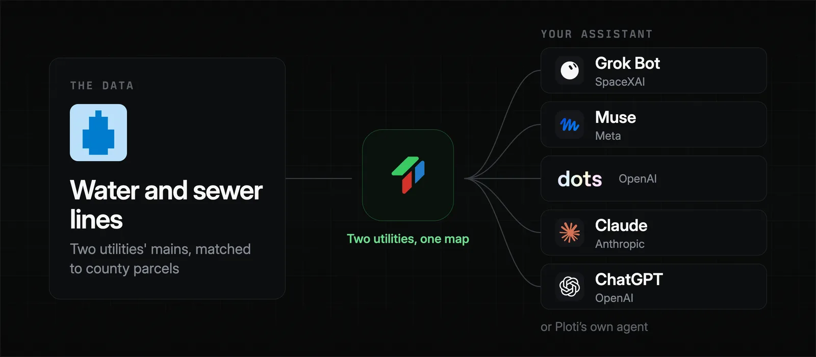
From request to finished shortlist took about nine days, most of it spent sourcing the utility networks, which only has to happen once. The lines stay in Ploti, so the builder's assistant can rerun the screen at a quarter mile, add sewer, or drop the acreage to 20 in seconds, through an MCP connector in Claude or ChatGPT, or through Ploti's own agent. The city's zoning districts were added to the same market shortly after, so the next screen can test zoning directly.
Utility maps are a good example of data that is public but hard to use. Some utilities post them on GIS servers, some only in viewers that resist automated access, and some not at all; when a utility or county keeps a map offline, Ploti can email them for it and handle the exchange.
Why not buy utility data from a data provider
Water and sewer line maps are rarely part of what national real estate data providers sell. Their parcel and land products tend to come on annual contracts negotiated through sales, often in the tens of thousands of dollars, with limits on seats, exports, or lookups. Utility networks, where they exist, are usually left to the buyer to find.
Ploti works differently:
- No contract. Sign up yourself and start with a 7-day trial.
- Pay for the counties you build in. Pricing is per county, starting at $50 a month, so a two-county market costs about $100 a month.
- Full access in your counties. Your assistant can query every parcel, water line, and flood zone in your coverage areas, not a capped number of results.
- It builds up over time. Ploti keeps pulling data in your counties on its own, so the next market's utilities and zoning are often there before you ask.
Other decisions water and sewer data supports
The same utility data answers more than one site question:
- Where growth is heading. Line extensions show where a city is preparing for new development, often before the land is rezoned.
- Sewer versus septic. Wastewater lines separate land that can carry dense lots from land limited to septic-sized ones.
- Assemblage. Neighboring tracts held by the same owner near the same main can be combined into a larger project.
Paired with zoning, it finds land that is both entitled and serviceable; with permits, it shows which nearby subdivisions are already under construction. For more on putting zoning across many jurisdictions in one place, see how to find county zoning maps with AI. If your utility is not in Ploti yet, you can ask for it as a data request.
Frequently asked questions
How do I find out if a property has access to city water?
Check the water utility's distribution map, which shows where mains run, and ask the utility whether a line near the property has capacity for new connections. Many cities publish water line maps on their GIS site; others share them only on request.
How far from a water line is too far to develop?
It depends on who pays to extend the line. Many developers screen for land within a quarter or half mile of an existing main, since extension costs grow with distance and can decide whether a subdivision pencils.
Does being near a water line mean I can connect?
Not always. Line size, pressure, and the utility's available capacity decide whether a new connection is approved, so distance to a main is a first screen and the utility confirms the rest.
Can an AI assistant find land near utilities?
Yes, once it can query parcels and utility lines together. Connect Claude, ChatGPT, or another assistant to Ploti with an MCP connector and ask for parcels within a set distance of a water or sewer main, or ask Ploti's own agent.
How you can do it yourself
If you already use an assistant, connect Ploti and run the same screen in your own markets. Setup takes about two minutes for Claude, ChatGPT, Gemini, Claude Code, Codex, and Cursor, and works with any assistant that supports MCP connectors. Then ask:
- "Which parcels over 30 acres are within half a mile of a public water main and outside the floodplain?"
- "Which of those are also within a quarter mile of a sewer line?"
- "Where has the water network extended in the last few years?"
If you don't use an assistant, ask Ploti's agent on the web, in the Mac or Windows app, or soon on your phone. Pick the counties you work in and start a 7-day trial.