Skip to content →

Homebuilder data for your AI

Give your AI the land data a builder needs. Every parcel, plat, zoning code, permit, utility service area and flood zone in your markets, traced to its source.

Connect your assistant →

You've probably asked Claude, ChatGPT, or Grok to help you find land.

We bet it went something like this…

The utility's water map wouldn't load for it

It asked you to download every parcel in the county

It guessed at the zoning and the impact fees

The plats and permits don't line up with the parcels

The data layer

Every kind of home building data, piped into your agent.

Your assistant asks. Ploti finds the source, whether that is a county's plat records, a utility's water map, or a city's permit portal, turns it into clean tables, and keeps it current.

Home building data Ploti customers have already found

  • Is there a water line within half a mile?

    10,744 potable water line segments for screening developable acreage.

    Williamson County, TX
  • Which tracts are big enough to build on?

    50 tracts of 30 acres or more near a water line, 6,190 acres in all, with little floodplain.

    Williamson County, TX
  • Who is platting new communities?

    385 subdivisions recorded since 2024, 7,121 platted acres, with the developer behind each.

    Orange County, FL
  • Where are permits being pulled?

    104,340 City of Orlando permit applications since 2024, out of 1.1 million on record.

    Orlando, FL
  • Zoning for 15 counties in an afternoon

    57 county and city zoning layers, most of them ready within the hour.

    15 counties
  • What will fees add to each lot?

    Transportation impact fee zones and 17 community development districts, plus Ocoee's impact fee schedules.

    Orange County, FL

How it works

Pick your counties. Ask your agent.

Tell Ploti where you work

Pick the counties your team works in. Ploti's agents start pulling the datasets there from the official source and keep them current. You pay only for the counties you cover.

Can you get the city's potable water lines?

Potable water linesWilliamson County, TX · 10,744 segments
Ready

Request the exact data you need

Need a utility's water mains or a city's fee schedule? File a research request. Ploti finds the source, builds the dataset and emails you when it is ready.

Claude
ChatGPT
Grok Bot
Muse

Connect your agent and ask

Connect Claude, ChatGPT or your own agent and ask in plain English. It queries real tables and cites the record behind each answer.

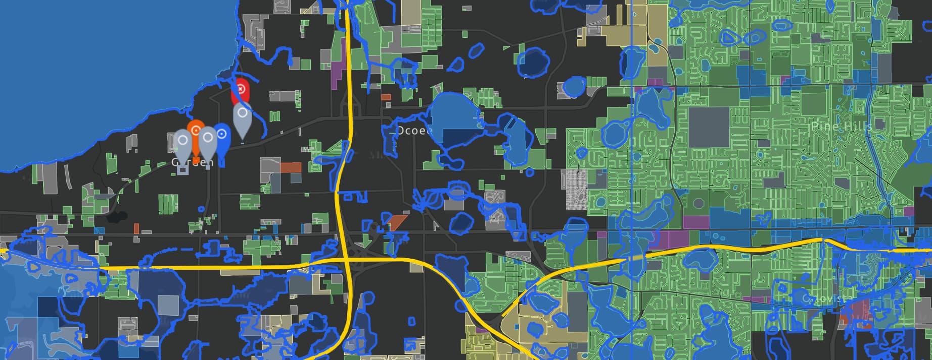
Map contextOrange County, Florida
Live
Available here4 datasets in context
  • ParcelsOrange County
  • FLUFuture land use
  • FEMAFlood hazard areas
  • FDOTState transportation
Move the mapContext updates automatically

Let your agent draw the map

Your agent pulls the relevant layers, filters to what matters and hands you a map built for your question, ready to open and share.

Three ways to use Ploti

Use the data wherever you work.

Claude
ChatGPT
Grok Bot
Muse

Connect your AI assistant

Connect Claude, ChatGPT or your own agent and ask about any tract, plat or zoning rule.

Explore AI agents

Use the Ploti app

Screen land on a map with an agent built in, beside parcels, water lines and flood zones.

Explore the Ploti app
$ ploti feeds sync orange-county --to ./land✓ Property parcels✓ Recorded subdivisions✓ Permit applications
Your warehouseGeoParquet, synced on every new version
Current

Sync it into your software

Subscribe to parcels, plats and permits and sync each new version into your land database or underwriting model.

Explore developers

Built for the future. Available today.