Skip to content →

24/7 AI Agents for Your
Tower Siting Data

Evaluate potential tower sites with ownership, zoning, coverage, utilities, and permitting data.

Try it for free
Try it for free
Data Agents
RequestStatusSourceCoverageProgressUpdated
Track tower ordinance updates by municipalityDR-1042
Building datasetData request agentParcel ownership near coverage gaps68% completeJust now
Find owners near target coverage areasDR-1038
ReadyFinder agentZoning and conditional-use requirements100% complete1 hr ago
Maintain permitting checklists for each jurisdictionDR-1035
Searching sourcesData request agentSetbacks, height limits, and sensitive-use buffers44% complete3 hr ago
Setbacks, height limits, and sensitive-use buffersDR-1029
Dedicated agent assignedFinder agentParcel ownership near coverage gaps18% completeYesterday
Planning board agendasDR-1026
Request submittedFinder agentSetbacks, height limits, and sensitive-use buffers8% complete2 days ago
Floodplain map revisionsDR-1021
Searching sourcesData request agentFlooding & Environmental52% complete3 days ago
School district boundariesDR-1018
ReadyFinder agentSchools & Community100% complete4 days ago
Water and sewer availabilityDR-1014
Building datasetData request agentUtilities & Infrastructure73% complete5 days ago
Environmental constraint areasDR-1011
Request submittedFinder agentFlooding & Environmental12% complete6 days ago
Tax increment reinvestment zonesDR-1008
Dedicated agent assignedFinder agentEconomic Development26% complete1 week ago
Broadband service coverageDR-1004
ReadyFinder agentUtilities & Infrastructure100% complete1 week ago
Data agentCustom request
Plotistarted a Data Atlas request
Routing the request to the right Data Atlas agent...Thinking...
Plotiupdated Data Atlas requests
Worked for 9sAdvanced the request queue:
Owner mailing addresses moved to Building dataset
Entitlement history is Searching sources
Preview
Changed6 requests+18 sources
DraftView request in Data Atlas

A new species of software. This is the Agentic Cell Tower OS. AI workflows at its core, Ploti sets a new standard for interacting with your data.

Tell Ploti where you operate

Add the counties, markets, and corridors your team works in. Ploti begins building the cell Tower data layer behind every decision.

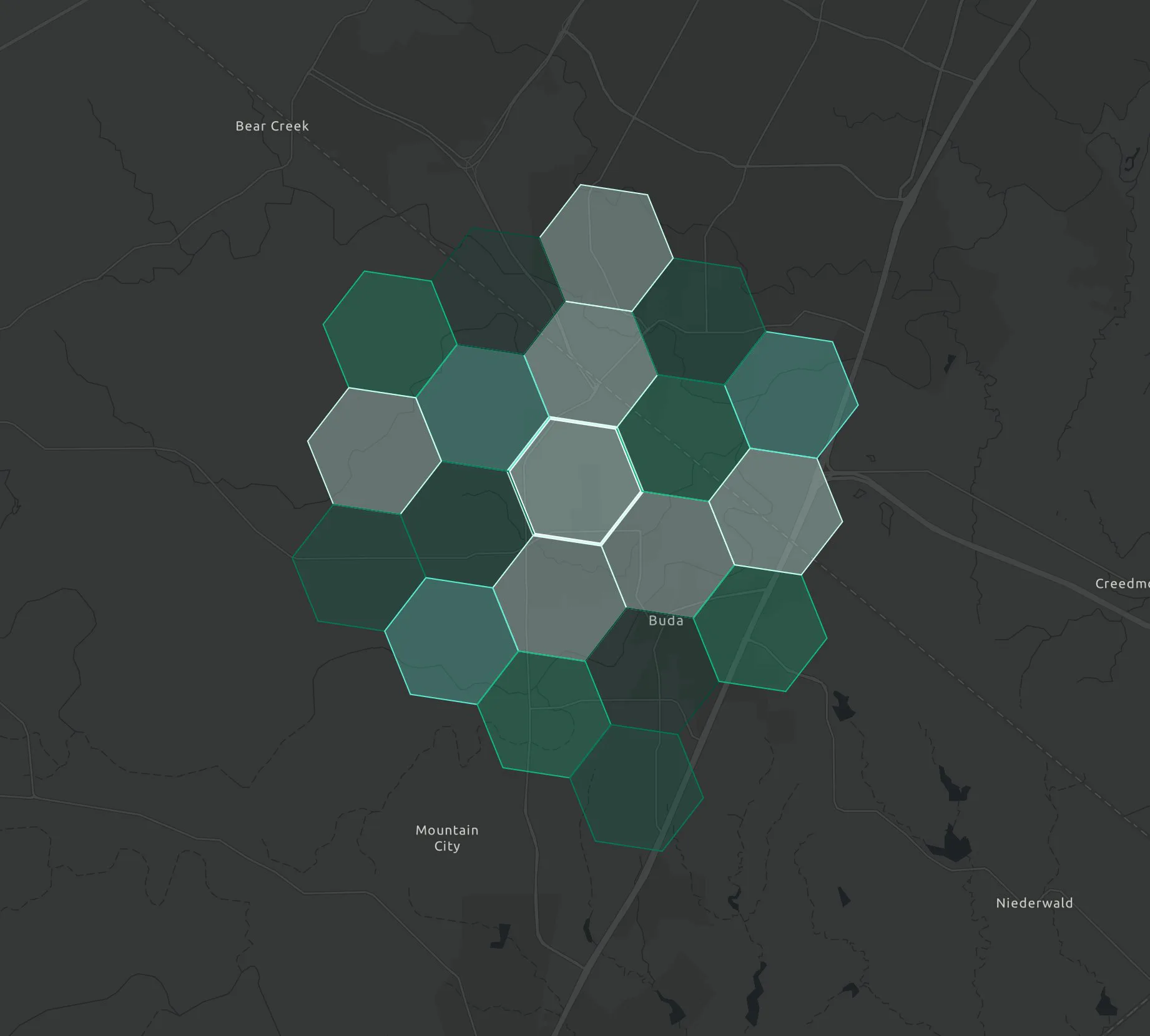
Data AtlasCell Tower coverage
Austin
San Marcos
Travis County42 coverage cellsDatasets maintained
Coverage density
Cell Tower areasSelected counties
7
Travis CountyCentral Texas
Active
Hays CountyCentral Texas
Active
Williamson CountyCentral Texas
Active
Comal CountyHill Country
Queued
Bexar CountySouth Texas
Queued
Data AtlasCell Tower coverage
Austin
San Marcos
Travis County42 coverage cellsDatasets maintained
Coverage density
Cell Tower areasSelected counties
7
Travis CountyCentral Texas
Active
Hays CountyCentral Texas
Active
Williamson CountyCentral Texas
Active
Comal CountyHill Country
Queued
Bexar CountySouth Texas
Queued

Request the exact cell Tower data you need

Ask for industry-specific data in plain English. Ploti identifies what is missing, scopes the sources and fields, and puts a dedicated agent to work.

PlotiRequested datasets
CoverageTravis, Hays, Williamson
Datasets12 requested
Agents7 running
DatasetCoverageStatusAgentUpdated
Zoning districtsDR-2204
Travis, Hays, WilliamsonBuilding datasetSource finderNow
Building permitsDR-2205
Travis, HaysSearching sourcesPermit agent2m ago
Parcel ownershipDR-2206
WilliamsonReadyRecords agent8m ago
Utility service areasDR-2207
Travis, WilliamsonAgent assignedUtility agent12m ago
Impact fee schedulesDR-2208
Hays, WilliamsonSearching sourcesFee agent18m ago
PPloti chatData request
Brennen
Brennen

Track tower ordinance updates by municipality

Ploti

That layer is not in this workspace yet. I drafted a request with the coverage, likely sources, and fields to collect.

Data request

Review the scope before agents begin

Background agent
Area

Target counties, markets, and operating areas

Type

Parcel ownership near coverage gaps

Goal

Which parcels can support a new tower?

Gap

The workspace has the core geography, but still needs zoning and conditional-use requirements.

Plan

Check source candidates, map fields, and prepare a refresh policy.

Parcel ownership near coverage gapsZoning and conditional-use requirements
What local approvals are required before leasing?

Put every decision on the map

Bring parcel ownership near coverage gaps, zoning and conditional-use requirements, setbacks, height limits, and sensitive-use buffers into one spatial workspace built around the decisions your team makes.

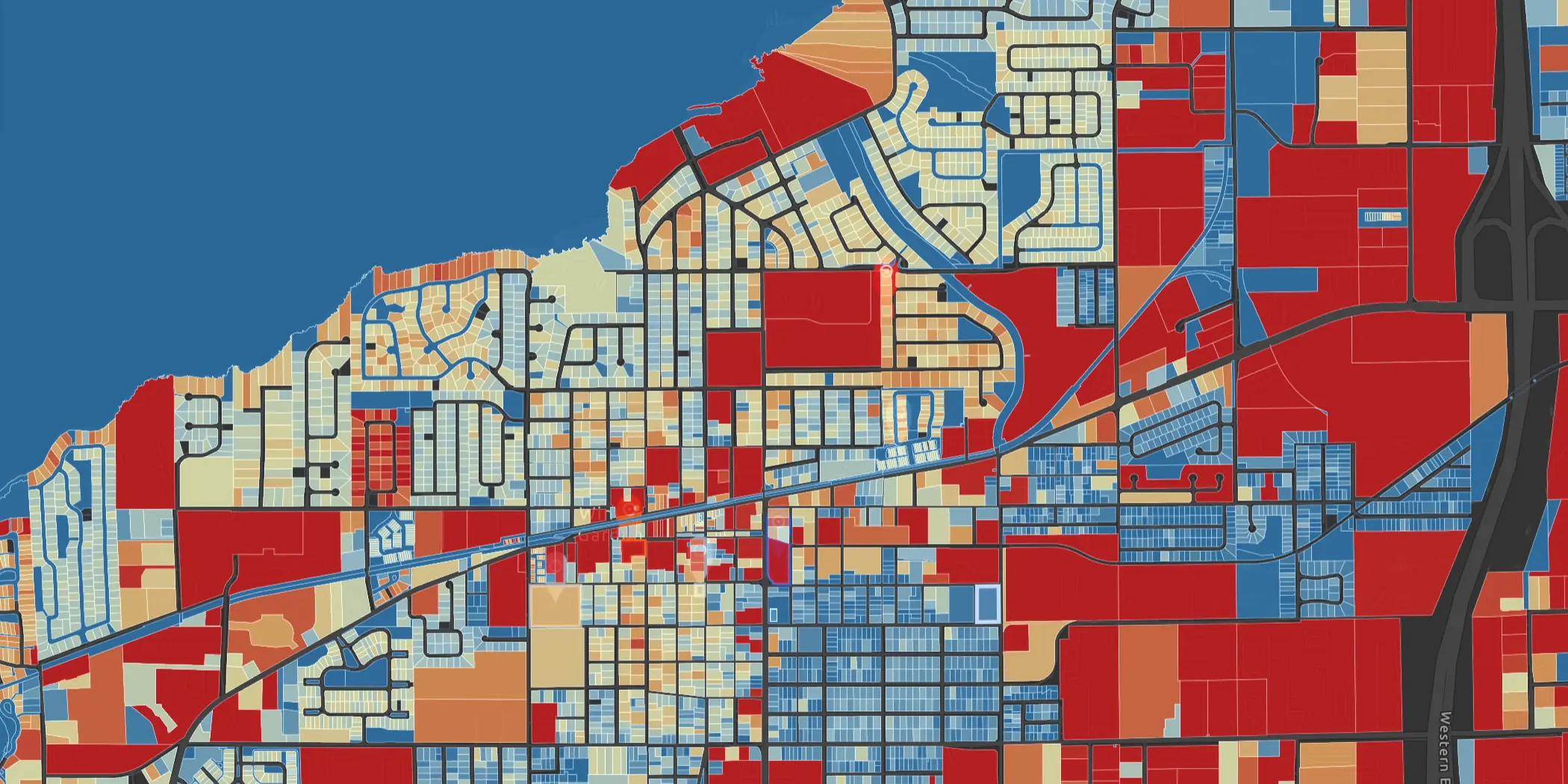
Ploti parcel value heatmap on an interactive map
PPloti chatMap workspace
Brennen
Brennen

Which parcels can support a new tower?

Ploti

I scored and mapped every record so the strongest opportunities stand out immediately.

Cell Tower opportunity map
247 priority records

Priority records scored against the data and criteria that matter to telecom infrastructure teams.

What local approvals are required before leasing?
Ploti parcel value heatmap on an interactive map
Cell Tower opportunities

See every opportunity in context, then ask Ploti to isolate the records that fit your criteria.

Move decisions forward with the orchestrator

Ask Ploti to compare opportunities across your maintained data. The orchestrator builds the exact map, dashboard, or artifact your team needs next.

Cell Tower scorecard
Priority map
Source comparison
OpenUI dashboardCell Tower decision readiness
Generated from parcel ownership near coverage gaps, zoning and conditional-use requirements, setbacks, height limits, and sensitive-use buffers
Top opportunities18+6 since last pull
Avg fit score82%Hays leads Travis
Data confidence94%12 maintained sources
Opportunity fitBy county
Hays86
Travis82
Williamson74
Comal69
DriversSignal mix
42%fit + timing
FitUtilitiesZoning
Query provenanceAgent harness steps

1 Joined parcel centroids to current zoning overlays.

2 Weighted the criteria, market signals, constraints, and timing behind every result.

3 Rendered dashboard tab and linked map artifacts.

PPloti chatOrchestrator
Brennen
Brennen

Which parcels can support a new tower?

Ploti

I built a scorecard, opened the ranked map, and linked the source records behind every result.

Created dashboard

Cell Tower decision readiness

Open tabs

Dashboard / Map / Artifact

Sources

Parcel ownership near coverage gaps, Zoning and conditional-use requirements, Setbacks, height limits, and sensitive-use buffers, Utility, access, and right-of-way context

What local approvals are required before leasing?
DashboardMapArtifact
Cell Tower readiness

Ploti rendered a dashboard from the data maintained for your cell Tower workflow.

Run your cell Tower pipeline in Ploti

Define the opportunities, owners, locations, tasks, and diligence items your team tracks. Then move every decision from first signal through completion in shared record views.

Sourcing12
REC-2085
East Riverside assemblage
OwnerParcel
REC-2094
SH-130 frontage tract
Traffic
REC-2092
FM 1626 infill sites
Utility
REC-2200
Loop 1604 interchange
Zoning
Qualified8
REC-926
Track tower ordinance updates by municipality
Priority ASite
REC-2088
Find owners near target coverage areas
PowerFiber
REC-2214
Maintain permitting checklists for each jurisdiction
Owner
Diligence5
REC-1433
Parcel ownership near coverage gaps
Permit
REC-1441
Zoning and conditional-use requirements
FloodRisk
REC-1519
Setbacks, height limits, and sensitive-use buffers
Infra
Live18
REC-1712
Utility, access, and right-of-way context
Watch
REC-1788
Which parcels can support a new tower?
Permit
REC-1810
What local approvals are required before leasing?
Utility
RecordsCell Tower pipeline

Saved board views keep opportunities, research, diligence, and next steps moving across Ploti.

Built for the future. Available today.