Retail site data for your AI
Give your AI the site data a retail team needs. Every parcel, traffic count, zoning code, permit and owner in your markets, traced to its source.
Connect your assistant →
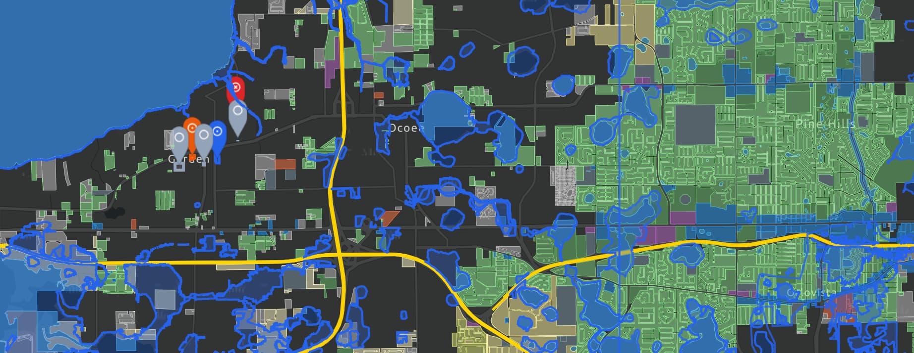
PlotiRetail pads on busy roadsSnapshot
AreaOrange County, FL
Parcels194
Acres413
SourceClaude via MCP
| Address | Owner | Acres | Zoning | Cars a day |
|---|---|---|---|---|
| 9497 E Colonial Dr | Econlockhatchee Land LLC | 4.61 | ORG-C-2 | 60,500 |
| 9524 E Colonial Dr | My Local Storage LLC | 4.29 | ORG-C-3 | 60,500 |
| 12569 Narcoossee Rd | Vass Inc | 1.98 | ORL-PD | 58,500 |
| 11065 E Colonial Dr | A and V Property Group Inc | 2.75 | ORG-P-D | 58,000 |
| 798 N Semoran Blvd | Orlando Burgers 436 LLC | 1.60 | ORG-C-2 | 58,000 |
| 11700 W Colonial Dr | Daniels Veterinary Services LLC | 2.50 | OCO-C-3 | 54,500 |
| 8640 E Colonial Dr | Trackone Realty LLC | 1.35 | ORG-C-2 | 49,000 |
B
Find vacant commercial parcels of 1 to 5 acres in Orange County, Florida that sit on a road carrying 30,000 or more cars a day. Show the owner, zoning and traffic count, and save them so I can open them on the map.
datasets_searchParcels, traffic counts · Orange County, FLmaps_createRetail pads on busy roadsmaps_tables_load695 vacant commercial parcels · 1,423 traffic segmentsmaps_tables_computewithin 50 m of a road with 30,000+ cars a daymaps_snapshots_create194 parcelsmaps_outputs_showsnapshot · 194 parcels
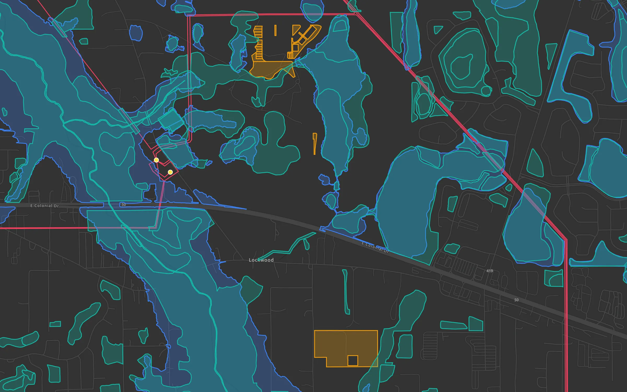
Found 194 vacant commercial parcels of 1 to 5 acres on roads the state counted at 30,000 or more cars a day, 413 acres held by 163 owners. 49 of them sit on roads carrying 50,000 or more. I saved them on a new map you can open in Ploti.
Retail pads on busy roadsSnapshot · 194 parcels · Orange County, FL
Open in PlotiNow show which of these sold since 2024, and for how much.
 Grok BotSpaceXAI
 MuseMeta
 OpenAI