Skip to content →

Every public real estate data source in one AI platform.

Ploti pulls every public real estate dataset, from county parcels, sales and zoning to permits, flood zones and power lines, keeps it current and traces each record to its source. The Ploti app puts all of it in one place with nothing to set up: ask a question, see the answer on a map and share it with your team.

Start free with one county →

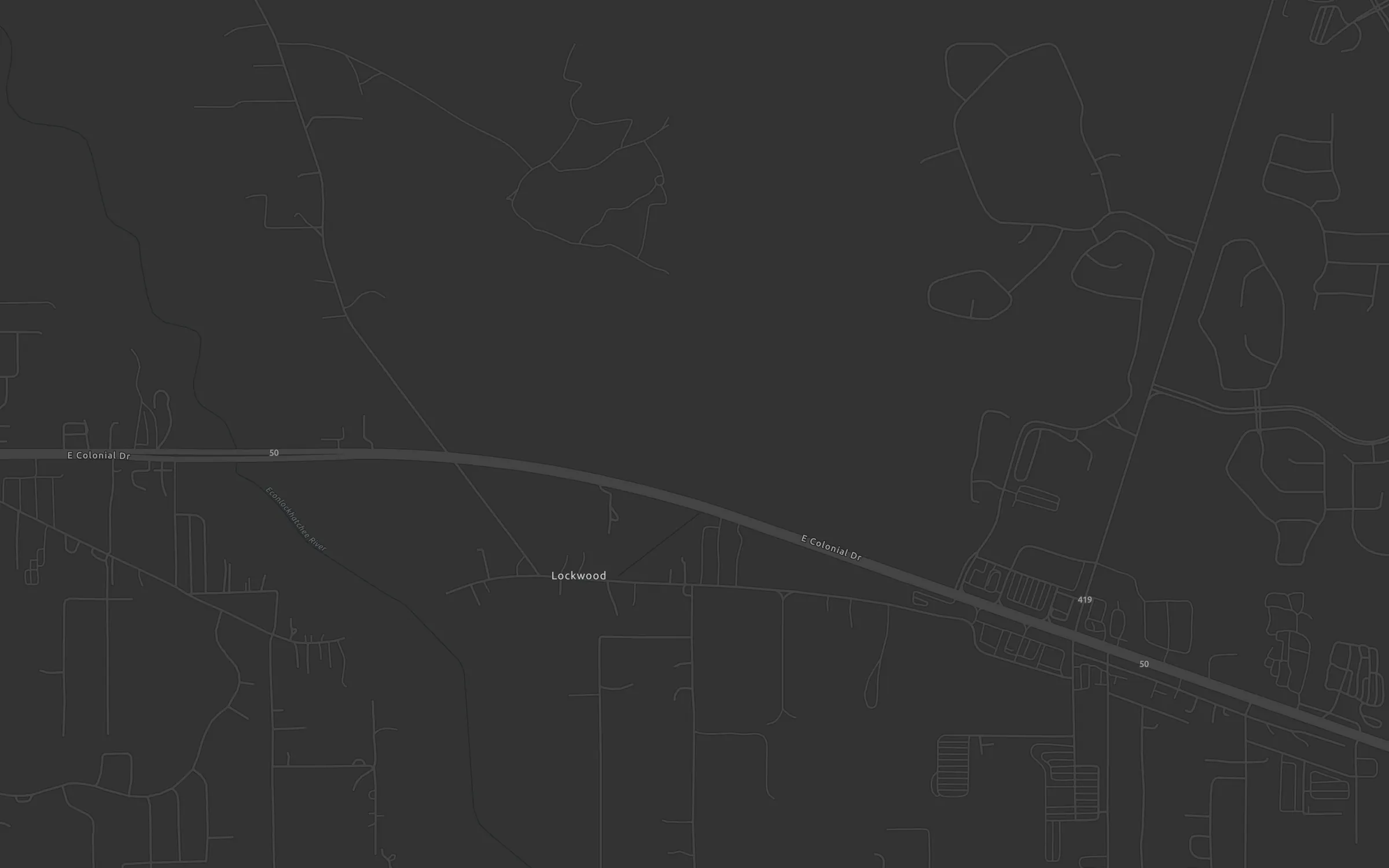
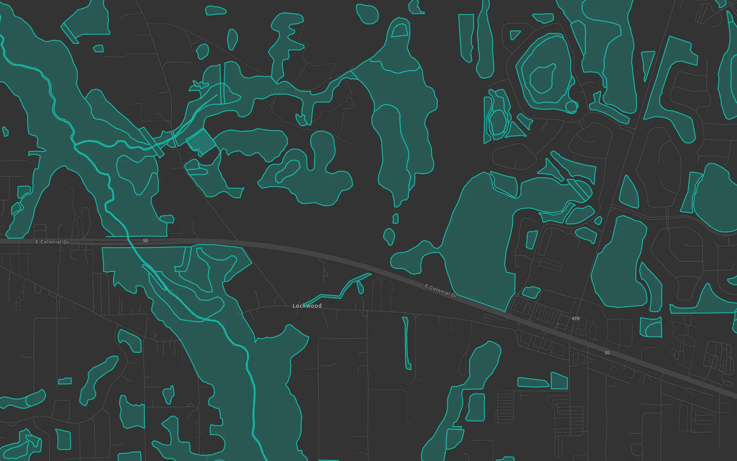
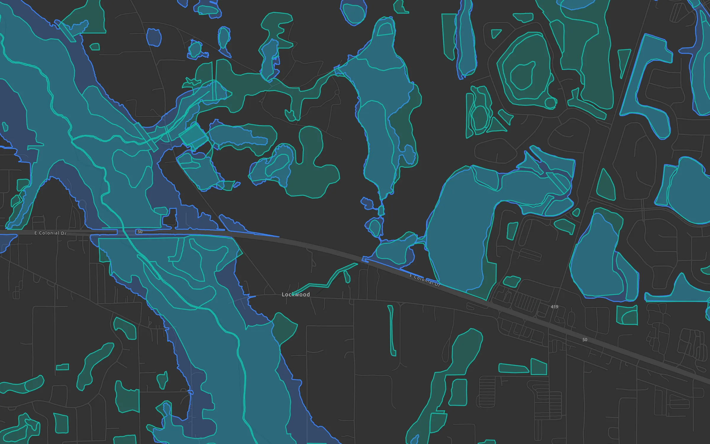
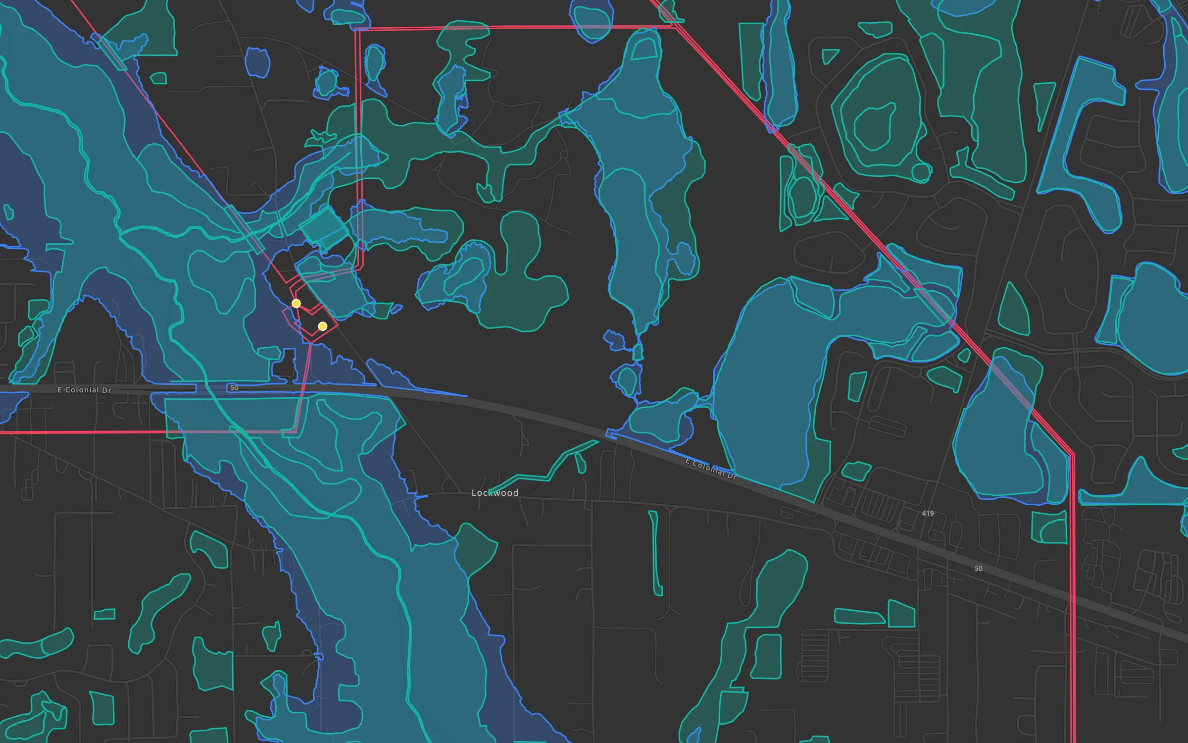
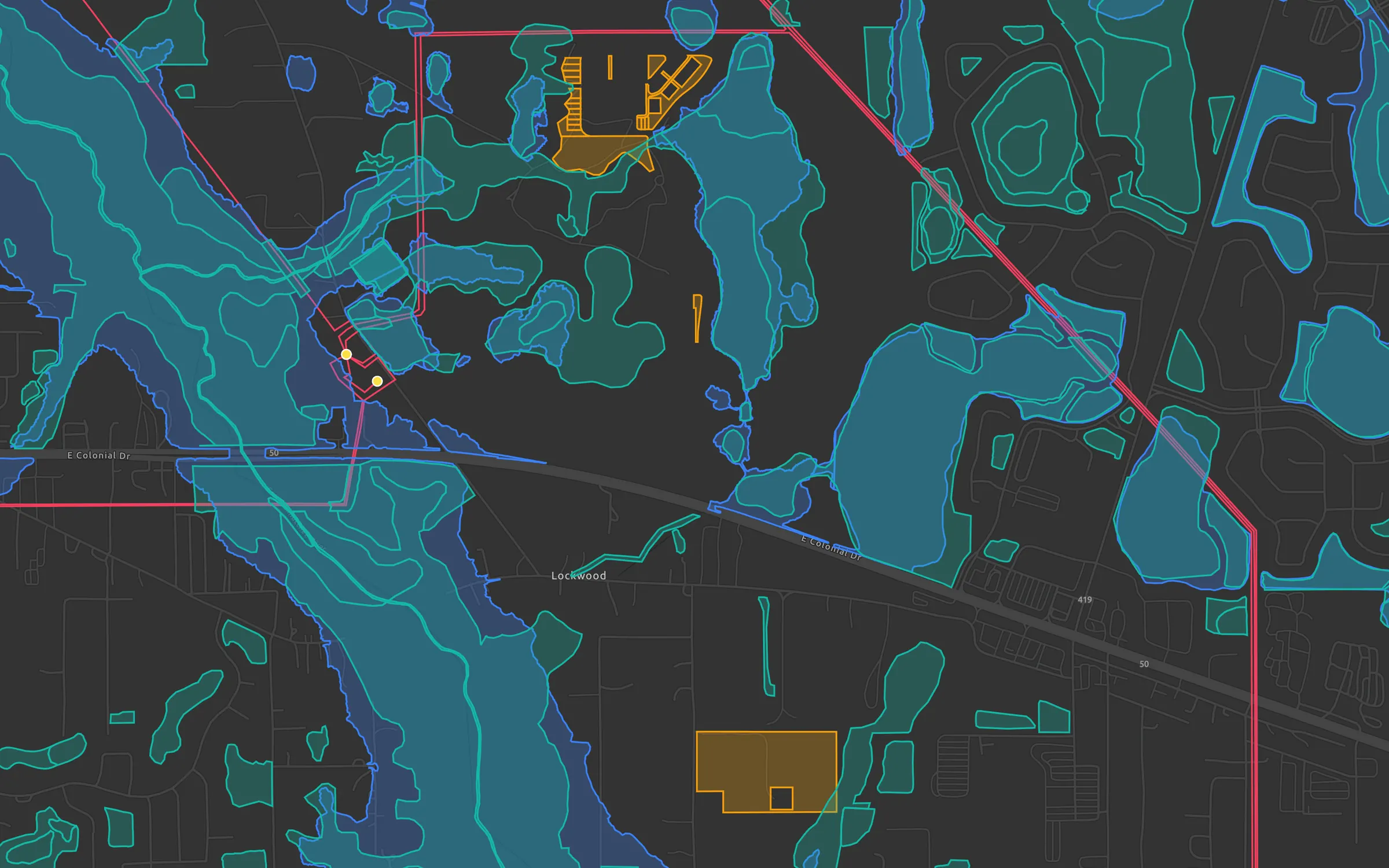
Development sites near transmission lines around Bithlo, Orange County, on a Ploti map
Development sites near transmission
Orange County, FL
  • Sites over 20 acres, outside flood and wetlands
  • Electric transmission lines
  • Electric substations
  • FEMA flood zones
  • Wetlands
Ploti chatDevelopment sites

Find vacant or agricultural parcels over 20 acres in Orange County within a mile of a transmission line, outside flood zones and wetlands.

Plotisaved 126 sites to the map
Worked for 9sFound 126 sites totaling 5,021 acres:
Bithlo has 23 sites, 757 acres, beside two substations
Development sites are saved on the map
Snapshot
126 sitesOrange County, FL
MapOpen in Ploti

Just ask your question. Ploti combines every public real estate dataset in one place, so you never open another portal to find the answer.

How it works

Pick your counties. Ask Ploti.

Tell Ploti where you work

Pick the counties your team works in. Ploti's agents pull every dataset there from the official source and keep it current.

Which vacant parcels over 20 acres sit within a mile of a transmission line?

126 sites, 5,021 acresOrange County, FL · sources cited
Mapped

Ask in plain English

Ask Ploti's agent about any place or dataset. It reads the records, works out the answer and cites the source behind each fact.

Map contextOrange County, Florida
Live
Available here4 datasets in context
  • ParcelsOrange County
  • FLUFuture land use
  • FEMAFlood hazard areas
  • FDOTState transportation
Move the mapContext updates automatically

See every answer on the map

Ploti shades, filters and labels the map to answer, with parcels, zoning and flood zones beside anything your team adds.

Can you get utility hosting capacity for Orange County?

Utility hosting capacityOrange County, FL · 1,284 rows
Ready

Request what's missing

When an answer needs records Ploti doesn't have yet, it drafts a data request. Approve it and the new dataset joins your workspace.

Build dashboards for the data you care about

Describe what you want to track, and Ploti builds a custom dashboard of charts, maps and tables from the records behind it. Your team can open it any time and keep working from it.

Expansion scorecard
Travis sites map
Zoning comparison
OpenUI dashboardExpansion readiness by county
Generated from parcel, zoning, traffic, permit, and utility datasets
Top sites18+6 since last pull
Avg readiness82%Hays leads Travis
Data confidence94%12 maintained sources
Readiness scoreBy county
Hays86
Travis82
Williamson74
Comal69
DriversSignal mix
42%traffic + permits
TrafficUtilitiesZoning
Query provenanceAgent harness steps

1 Joined parcel centroids to current zoning overlays.

2 Weighted traffic counts, permit velocity, and utility proximity.

3 Rendered dashboard tab and linked map artifacts.

PPloti chatOrchestrator
Brennen
Brennen

Which sites in Travis and Hays are most expansion-ready once parcel, zoning, traffic, permit, and utility data are weighted together?

Ploti

I built a dashboard tab with the ranking model, opened the source map, and linked the supporting artifact table.

Created dashboard

Expansion readiness by county

Open tabs

Dashboard / Map / Artifact

Sources

Parcel ownership, zoning overlays, traffic counts, permits, utilities

Compare utility capacity against the top five sites.
DashboardMapArtifact
Expansion readiness

Ploti rendered a dashboard from parcel, zoning, traffic, permit, and utility data.

Keep track of what you find

Save sites, owners, parcels and permits as records, sort them on boards your team shares, and open each one later with the parcels and layers behind it.

Sourcing12
REC-2085
East Riverside assemblage
OwnerParcel
REC-2094
SH-130 frontage tract
Traffic
REC-2092
FM 1626 infill sites
Utility
REC-2200
Loop 1604 interchange
Zoning
Qualified8
REC-926
Kyle Parkway retail pad
Priority ASite
REC-2088
Round Rock utility corridor
PowerFiber
REC-2214
Cedar Park ownership match
Owner
Diligence5
REC-1433
San Marcos mixed-use site
Permit
REC-1441
Comal expansion area
FloodRisk
REC-1519
Buda drainage review
Infra
Live18
REC-1712
Austin entitlement tracker
Watch
REC-1788
Williamson permit monitor
Permit
REC-1810
Utility service territory
Utility
RecordsExpansion pipeline

Saved board views keep sites, owners, permits, and next steps moving across Ploti.

Other ways to use Ploti

Already have an AI assistant or your own software?

Claude
ChatGPT
Grok Bot
Muse

Want Ploti's data in your own AI assistant?

Connect Claude, ChatGPT or your own agent, and it reads the same records the app does.

Explore AI agents
$ ploti feeds sync central-florida --to ./ploti✓ Orange County parcels✓ Orange County permits✓ FEMA flood zones
Your warehouseGeoParquet, synced on every new version
Current

Want Ploti's data in your own software?

Sync every dataset into your platform or warehouse with the API, SDK or Data Feeds.

Explore developers

Built for the future. Available today.