3.0 Maps

Visualize your
data on a map

Turn every parcel, lead, permit, zoning layer, and custom dataset into a spatial workspace. Ask Ploti questions about the places you care about and get answers grounded in the map.
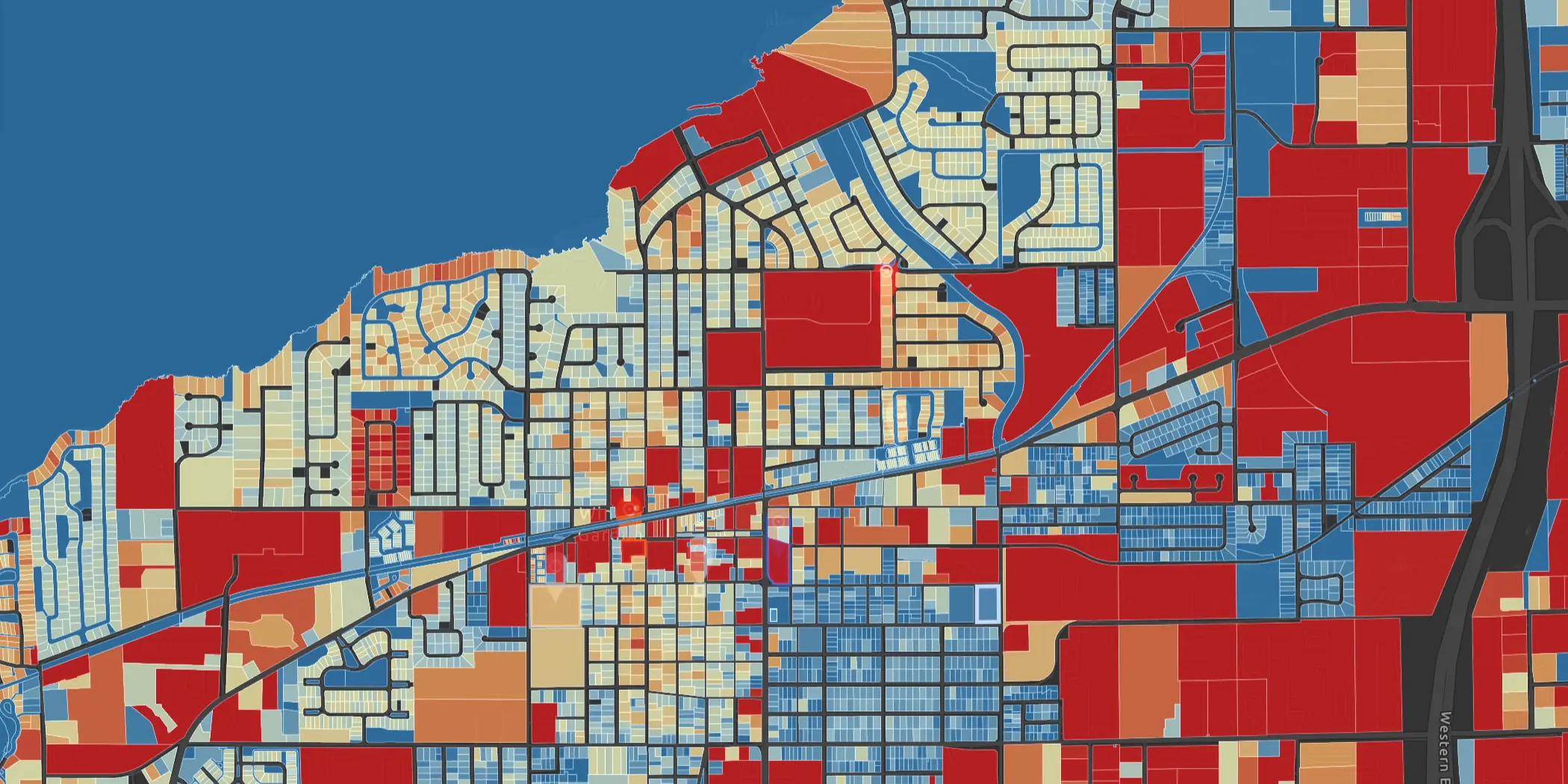
Ploti parcel value heatmap on an interactive map
Parcel Values Heatmap - Orlando Demo
US ParcelsNational dataset
Total Assessed Value
  • $1.2M+High
  • ~$800K
  • ~$500KMedian area
  • ~$300K
  • ~$100KLow
Map contextOrange County, Florida
Live
Available here4 datasets in context
  • US ParcelsNational
  • FLUFuture land use
  • FEMAFlood hazard areas
  • FDOTState transportation
Move the mapContext updates automatically

The right data follows the map

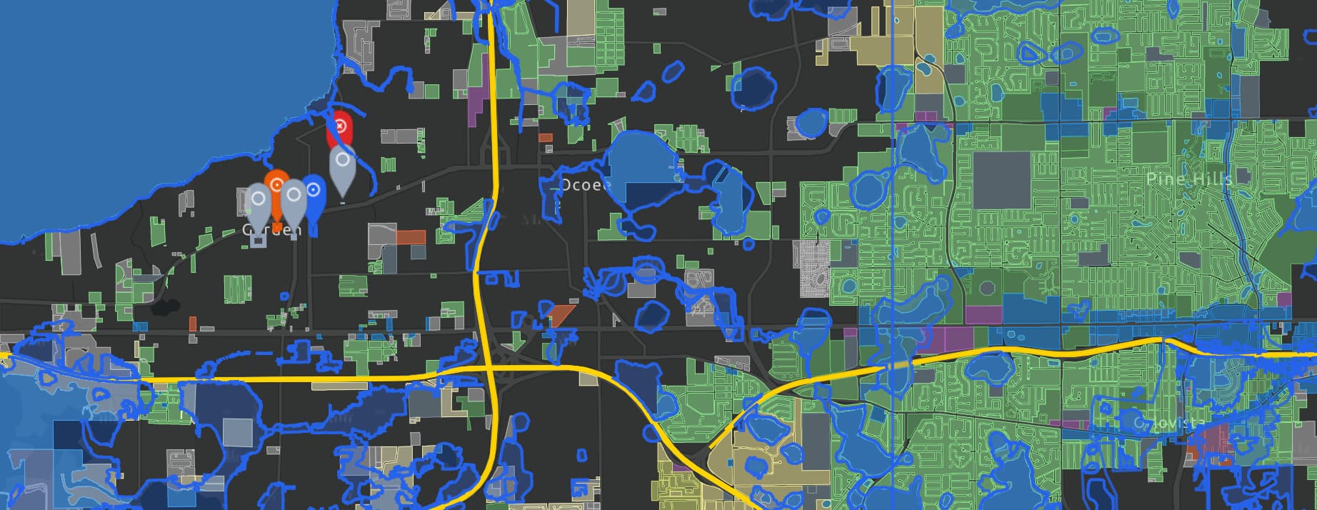
Move anywhere in the U.S. Ploti recognizes the area in view and automatically brings the relevant parcel, zoning, permit, flood, and infrastructure datasets into context.

Custom spatial queryHigh-value infill opportunities
Running
Show parcels over 5 acres, outside flood zones, within 2 miles of a highway, with assessed value below the area median.
Area >= 5 acresFlood overlap = 0%Highway distance <= 2 miAssessed value < median
Orlando infill candidatesCustom checkpoint
1,284 parcels
Optimized queryST_DWithin(highway, parcel, 3218)184ms

Ask questions filters cannot express

Filters and checkpoints turn complex spatial questions into fast visualizations. Ploti generates custom, performant queries behind the scenes.

Orlando infill candidates1,284 records
Search records 4 filters1,284 selected
Parcel IDAcresAssessed valueHighway
27-23-29-726812.4$482,1000.7 mi
27-23-29-72718.9$391,8001.2 mi
27-23-29-731017.1$614,2001.6 mi
27-23-29-73446.2$328,5001.8 mi
Export selected records

Take every result with you

Open any query in a tabular view, inspect the underlying records, and export exactly what you found for the next step in your workflow.

Overlay current utility capacity for these parcels.

That dataset is not available here yet. I created a scoped request and started finding authoritative sources.

Data request createdElectric utility capacity
Active
Coverage
Orange County, FL
Requested fields
Capacity, provider, voltage, service area
ScopeSourcesDataset
Finder agent running

Missing data becomes a request

When an answer depends on data Ploti does not have yet, it automatically creates a scoped request and starts sourcing the dataset without breaking your investigation.

Draw the market you mean

Draw any market, corridor, trade area, or project boundary directly on the map. Ploti analyzes every parcel and dataset inside it for market analysis, site selection, acquisition targeting, infrastructure planning, and risk screening.

DrawPolygon
Ploti map with a custom market boundary
LayersParcelsFLUFEMAFDOT
Custom market18,420 acres12,684 parcels inside boundary
Commercial market screen38 redevelopment candidates
Top score 94
PPloti chatMarket analysis
Brennen
Brennen

Find commercial properties in this boundary built before 2000, over 20,000 square feet, below the market median, outside FEMA flood zones, and within one mile of an FDOT corridor.

Ploti

I screened every commercial property inside the boundary and ranked 38 redevelopment candidates.

Commercial redevelopment screen

Custom Orlando market

38 matches
PropertyBuiltBuildingScore
4800 W Colonial Dr198762.4K sf94
2301 Silver Star Rd199441.8K sf91
6200 Old Winter Garden197888.1K sf89
Compare the top five by vacancy and ownership.

Built for the future. Available today.