
Research agents for real estate
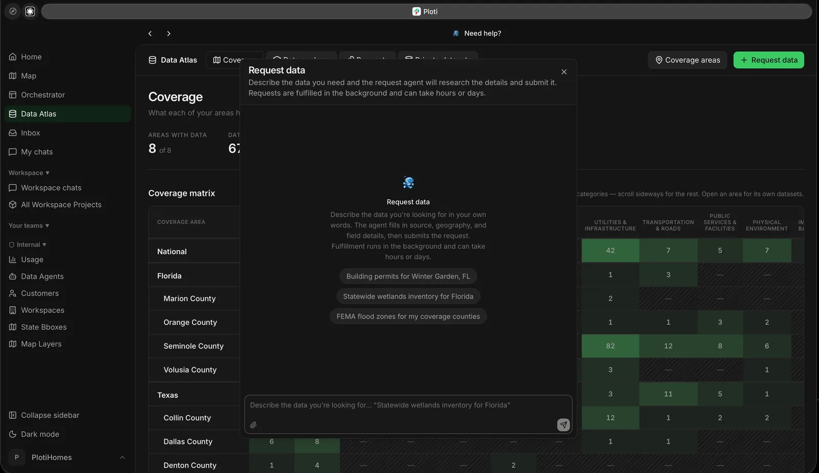
Request data in plain language from Data Atlas.
Start with the decision
Real estate research rarely starts with a single parcel filter. It starts with a decision:- Where should we open the next location?
- Which sites satisfy our development and access requirements?
- What does the local code allow?
- Which owners or portfolios warrant deeper outreach?
- What important data is missing before we can trust the answer?
Ploti checks the evidence first
Before the full research begins, Ploti reviews the datasets already available to your workspace. It reports which datasets are useful, identifies gaps, and may ask a clarifying question. If required data is missing, you can request it or continue with the evidence already available. This makes the scope and limitations visible before Ploti produces a confident-looking answer.Research continues in the background
Research runs on Ploti’s servers. You can leave the page and return later; Ploti emails you when completed work is ready. Requests remain available in the workspace with their status, data check, source context, research chat, and outputs.Results become working materials
Depending on the request, Ploti can produce:- Map layers and filters
- Checkpoints containing a durable result set
- Tables and saved queries
- Research documents and plans
- Downloadable files
- A research chat for follow-up analysis
One research workflow
Describe the outcome you need and let the request organize the work. Geography belongs in the brief, and a drawn boundary is optional context when a precise study area is useful.Who uses Ploti?
Site selectors
Compare markets, demand, competitors, access, and candidate sites.
Developers
Research parcels, entitlements, constraints, infrastructure, and
assemblages.
Commercial brokers
Build evidence-backed market and property research for clients.
Real estate investors
Identify opportunities and preserve the evidence behind each thesis.
Next steps
Create a research request
Write a brief and add the context Ploti should use.
Understand the workflow
Follow a request from intake through mapped results.