Ploti Regional Layers
Ploti is different from any other platform because we can support niche regional datasets.

How We Add Regional Data

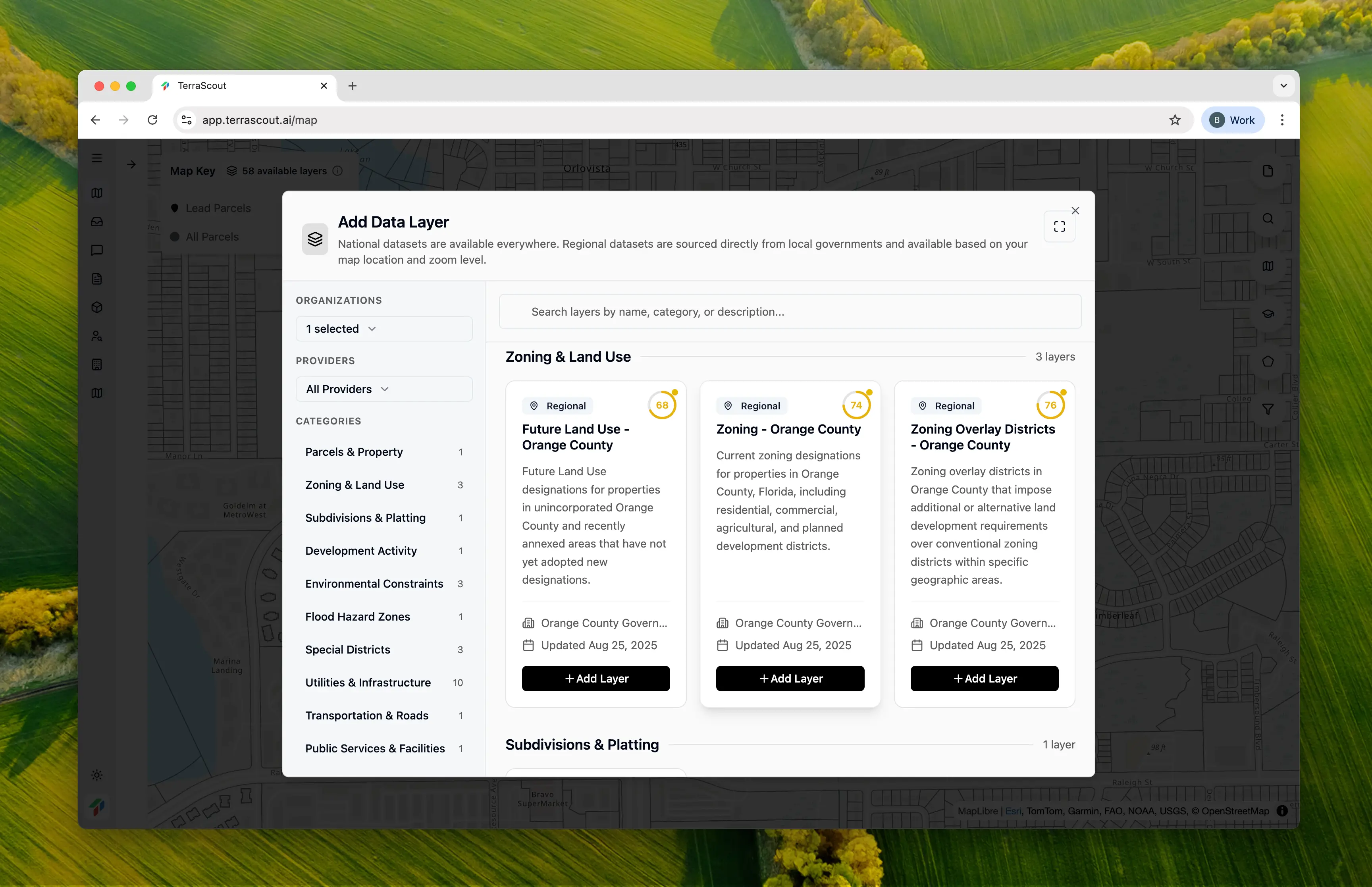
We’ve built an agent that can process datasets and inject them into our system. If you need a dataset from your county or municipality, we can get it into Ploti quickly. Once a dataset is in the system, Ploti’s agent can use it for all future analysis. The data becomes queryable, filterable, and available for complex cross-layer analysis.

Example: Orange County, Florida

In Orange County, Florida, we have over 40 regional datasets available:
  • Zoning districts
  • Future Land Use (FLU)
  • Wetlands
  • Stormdrain structures
  • Utility service areas
  • School zones
  • Fire districts
  • And many more
This level of detail enables queries that would be impossible with national data alone. For example, finding parcels where the Future Land Use designation differs from current zoning requires both layers to be available and queryable.

Request a Dataset

If you’re working in an area and need specific regional data, let us know. Our data ingestion agent can process most GIS datasets and make them available in Ploti.

Current Coverage

We’re actively expanding regional coverage. To see which areas have enhanced data, visit our Coverage Map.

How It Works

When you’re searching in an area with regional data, Ploti automatically makes those layers available. The agent knows what data exists in each area and will use it when answering your questions. If you move outside a region with enhanced data, Ploti will let you know which layers are no longer available.