Parcels
The parcel layer is the foundation of Ploti. Every parcel in the United States is available with over 80 data fields across 10 categories:Basic Information
Basic Information
Parcel ID, APN, account number, address, city, state, ZIP code
Owner Information
Owner Information
Primary and secondary owner names, corporate owner indicator, mailing address
Property Details
Property Details
Land area (acres and square feet), lot dimensions, front footage, depth footage, land use, zoning, property type, coordinates
Valuation
Valuation
Total value, land value, improvement value, assessed value, market value, appraisal value
Tax Information
Tax Information
Tax amount, tax year, assessed year, tax area
Building Details
Building Details
Building square footage, living area, basement area, year built, bedrooms, bathrooms, stories, units, condition, quality, architectural style
Location & Legal
Location & Legal
FIPS code, census tract, lot number, township, section, subdivision, legal description
Utilities & Features
Utilities & Features
Water source, sewer type, air conditioning, heating, pool, fireplaces, garage, parking spaces, foundation, roof type
Sales & Transfer
Sales & Transfer
Sale price, sale date, recording date, sale type, seller name
Mortgage Information
Mortgage Information
Mortgage amount, mortgage date, lender name
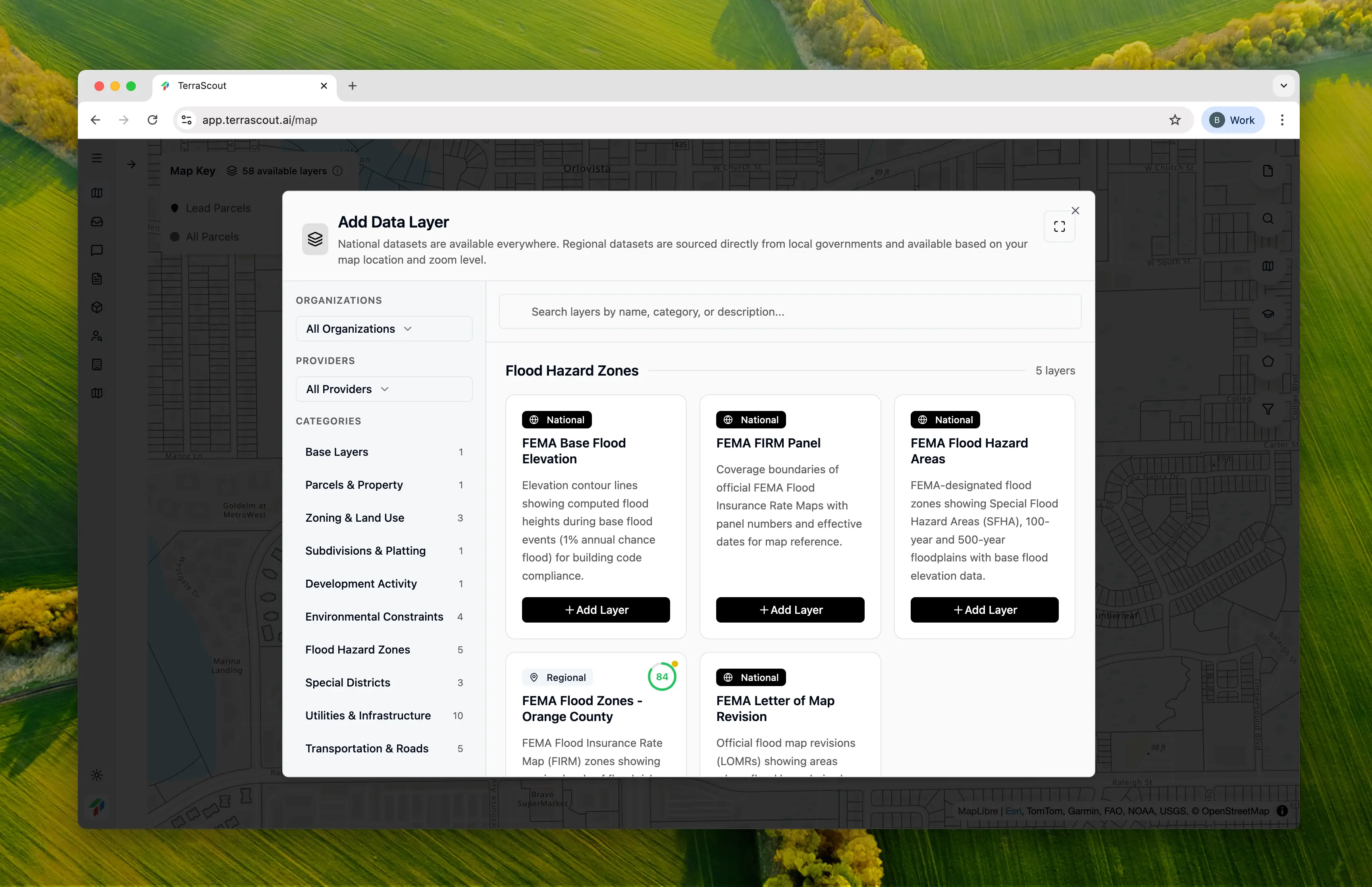
FEMA Flood Zones
FEMA flood zone data is available nationwide. See which parcels fall within flood zones and factor that into your analysis.Points of Interest
POI data helps you understand what’s around a property:- Food & drink establishments
- Retail locations
- Parks and recreation
- Schools and education
- Healthcare facilities
- And more