
Example prompts
These prompts demonstrate Ploti’s core MCP workflows. Mention the place and the output you want. Your assistant can ask follow-up questions when a request is ambiguous.Find industrial sites
Enter this prompt in Claude with Ploti enabled:Use Ploti to find vacant parcels between 10 and 40 acres near I-4 in Polk County, Florida. Compare acreage, ownership, assessed value, and distance to the interstate. Save the best candidates and show them on a map.Expected result: a scoped parcel analysis, a saved candidate set, and interactive map and comparison table outputs in a supported host. Distance to the interstate should specify the measurement used; straight-line proximity does not establish road access. The screenshot below shows the completed result, summarized after the analysis finished.
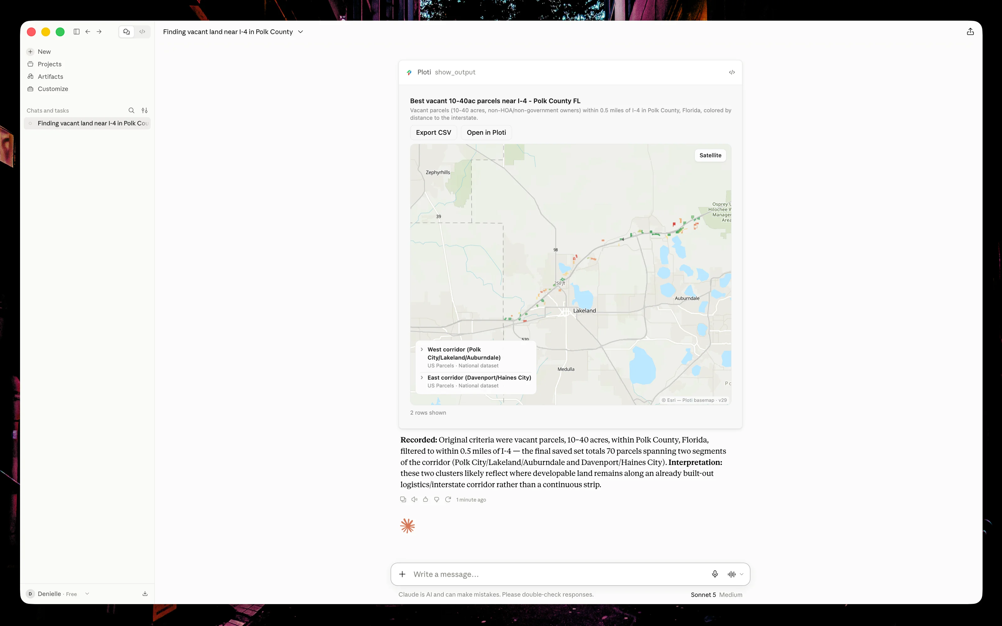
Completed results for the industrial-site prompt above: a concise summary and the saved Ploti map.
Research an owner portfolio
Use Ploti to find parcels owned by the same entities as 123 Example Street in Winter Garden, Florida. Summarize the portfolio by acreage and municipality, then create a downloadable CSV.Expected result: matched ownership records, a summary, and a durable file link. The assistant should explain uncertainty when owner names are ambiguous.
Check an ordinance
Use Ploti to research the parking and setback requirements for self-storage facilities in Tampa, Florida. Quote only short relevant excerpts, cite the municipal sources, and flag anything that needs confirmation with planning staff.Expected result: a source-backed answer with the applicable sections and clear caveats.
Screen environmental constraints
Use Ploti to compare flood and wetland exposure for the parcels in this list: [parcel IDs]. Put the result in a table, identify the source datasets, and do not treat missing coverage as a negative finding.Expected result: a cross-layer comparison that distinguishes a clear result from missing or unavailable data.
Look for assemblage opportunities
Use Ploti to identify groups of adjacent parcels in Orange County, Florida that total at least 20 acres. Exclude government-owned parcels, summarize the ownership pattern, and save each promising assemblage as a checkpoint.Expected result: spatial grouping, transparent filters, and one or more saved map outputs.
Create a client-ready deliverable
Use Ploti to compare the candidate sites we found in this conversation. Create a concise table with acreage, owner, zoning, flood exposure, and assessed value. Save the table and provide a link I can open in Ploti.Expected result: a compact conversational preview plus a durable Ploti artifact.